

Reality Capture & Laser Scanning
Laser scanning, photogrammetry, 360° imaging and aerial capture that document existing conditions, verify installed work and build a defensible visual record.
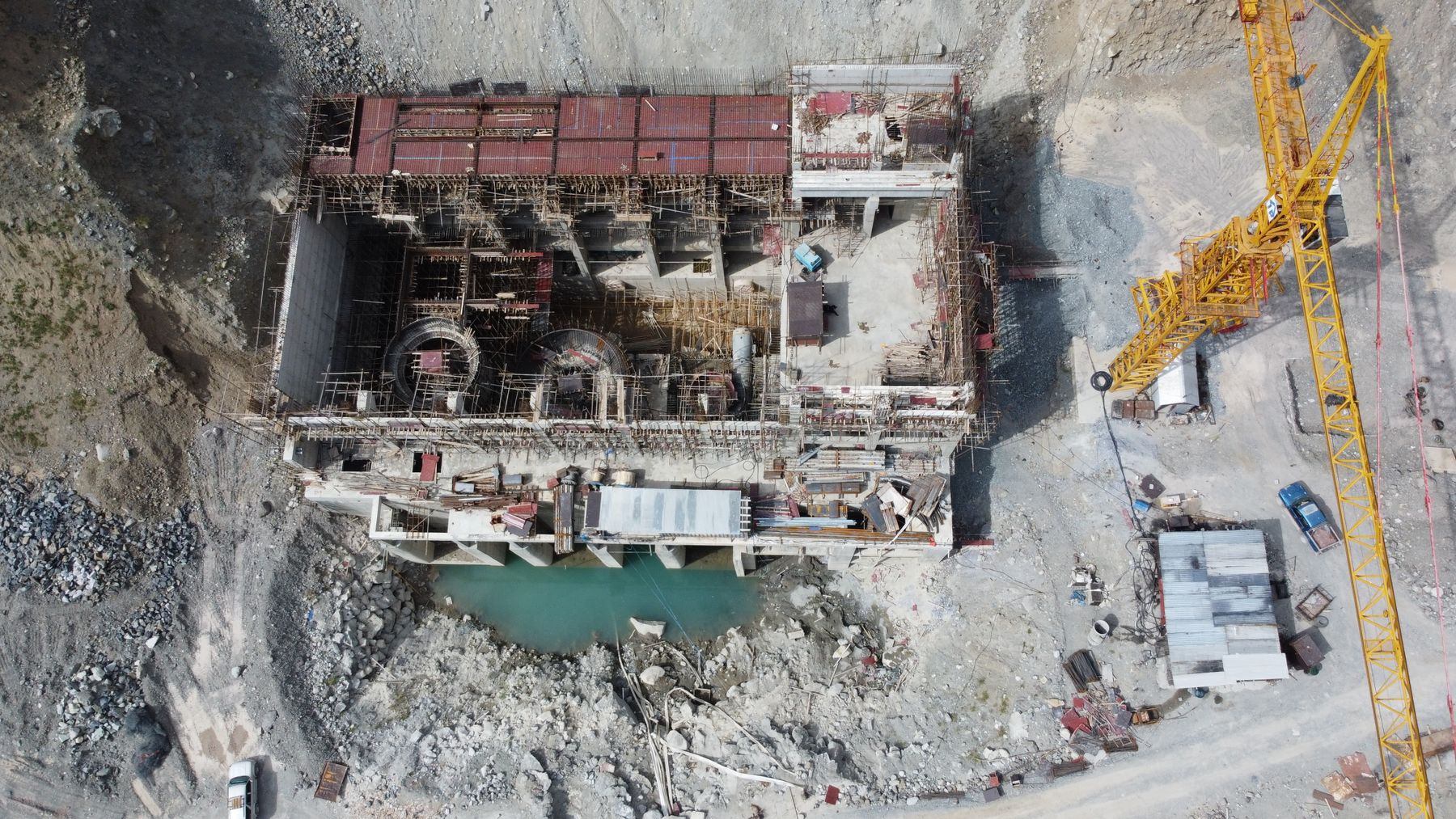
Record the site as it actually stands.
Drawings show intent. Reality capture shows what is there. Existing buildings and plants are rarely as documented, installed work does not always match the model, and in a dispute the record of what was built, and when, can decide the outcome.
We combine methods to suit the question. Terrestrial and mobile laser scanning give millimetre-level geometry for brownfield design, prefabrication fit-up and installation checks before work is closed in. Scan-to-BIM turns point clouds into usable models. Photogrammetry and aerial capture cover large areas efficiently, and 360° imaging records interiors floor by floor on a regular cycle.
Every capture is georeferenced, dated and linked to locations, model elements and schedule activities, so it is used for decisions rather than archived and forgotten.
What we bring to Reality Capture & Laser Scanning
Senior practitioners, a proven method and the right technology. Every line below is part of the engagement, not an upsell.
Existing conditions
Accurate scans of current facilities before design or demolition.
INCLUDEDLaser scanning
Terrestrial and mobile scanning to millimetre-level accuracy.
INCLUDEDScan-to-BIM
Point clouds converted into usable models.
INCLUDEDPrefabrication fit-up
Off-site components checked against as-built geometry.
INCLUDEDInstallation verification
Installed work compared with design before it is covered.
INCLUDED360° progress imaging
Interior walk-throughs linked to plans, dates and activities.
INCLUDEDEvidence library
Organised visual records supporting handover and claims.
INCLUDEDA clear path, milestone by milestone.
A disciplined sequence, so you always know what happens next, who owns it and why it matters.
What you receive
- 01Reality capture plan
- 02Registered point clouds
- 03Scan-to-BIM models
- 04Deviation analysis reports
- 05360° imaging archive
- 06Prefabrication fit-up reports
- 07Searchable evidence library
Technology we work in
Platform-fluent and vendor-independent. We work inside your environment, or help you choose the one that fits. We take no reseller commissions.
What changes when we arrive.
Not more reports. Earlier warnings, firmer dates and decisions your board, lenders and teams can trust.
No surprises when the ceiling comes down.
Prefabricated components that install without rework.
Dated visual evidence of conditions and progress.
What leaders ask us first.
Straight answers from the people who do the work. If your question is not here, ask us directly. A senior practitioner will reply.
Which capture method should we use?
It depends on the decision. Laser scanning for precision geometry and tight tolerances, photogrammetry and aerial capture for large areas, and 360° imaging for frequent, low-cost progress records. Most projects benefit from a combination.
How accurate is laser scanning?
Terrestrial scanning typically achieves millimetre-level accuracy, depending on the instrument, range and site conditions. We state the achieved accuracy in every deliverable.
Can you scan an operating facility?
Yes. Scanning is non-intrusive and can be carried out in live hospitals, plants and terminals with the right safety and access coordination.
Can reality capture help with claims?
Yes. Dated, located captures of conditions and progress are strong contemporaneous evidence, and we organise them so counsel can find what they need quickly.
Construction Analytics
Analytics that join field, capture, schedule and cost data to show where productivity, quality and progress are heading while there is still time to respond.
BIM Integration
Building Information Modelling structured and coded so it feeds scheduling, estimating, coordination and handover, not just design.
Digital Twin
Digital twins that connect models, schedules, reality capture and operational data, designed around the decisions owners and operators need to make.
See your finish from here.
Tell us where your project stands today. In one conversation with a senior practitioner you will know where it is really heading, what is driving it, and what it will take to land it.
- Senior practitioner on the first call
- Confidential by default
- A straight answer, not a sales pitch